
Sources for San Luis Neighbors
The public trail around a San Luis address is a set of partial views. Yuma County GIS shows the physical block. The Assessor adds owner, mailing, situs, parcel, legal, and classification facts. A recorder index can follow transfers after the owner is known. City planning and civic pages add subdivision or meeting context. Historic directories and newspapers can reveal who appeared nearby in an earlier year.
| Source | Block Detail It Provides | How to Reach It |
|---|---|---|
| Yuma County GIS | Parcel shapes, touching lots, roads and available map layers | Free web map |
| Assessor EagleWeb | Owner, mailing and situs addresses, APN and legal description | Free public-user route |
| Recorded Documents | Deeds and other instruments tied to named parties and land | Index or Recorder counter |
| City planning and civic sources | Subdivision, zoning, public meetings and official contacts | City pages or focused records request |
| Historical directories and newspapers | Past names, phones, addresses and block context where listed | Arizona Memory Project or Arizona Room |
Tax records identify owners, not all occupants. A matching mailing and situs address plus a primary-residence class can support an owner-occupancy inference, yet it still leaves out many people in the home. A trust, business, agent, or distant mailing address may also appear. State the narrow fact the record proves.
Map San Luis Neighbors by Parcel
A block lookup should follow parcel geometry. Consecutive house numbers can sit across a canal, alley, road, or vacant tract, while a rear parcel may touch the subject lot without sharing its street. The county map resolves that difference.
- Open Yuma County GIS, search the subject address, or zoom to the parcel and click its polygon.
- Record the APN and keep the same map extent. Click each polygon that touches the subject on the north, south, east, and west sides.
- Open each APN in Yuma County Assessor EagleWeb. Capture only the owner, situs, mailing, classification, and legal facts needed for the question.
- Use roads, aerial imagery, jurisdiction, and other enabled layers to tell a true edge-sharing parcel from one across a barrier. Do not claim a radius or buffer export because none was verified.
- When the research goal expands beyond the immediate block, use the San Luis street directory for the full named-street chain.
The process is address to parcel, parcel to touching polygons, and APN to assessor record. That flow avoids name guesses and preserves legal geography even when a street format changes.
San Luis Neighbors Beyond Owners
An Assessor card can show owner name, owner mailing address, situs address, account and parcel numbers, subdivision or lot, values, property class, and public remarks. EagleWeb's residential codes may distinguish owner-occupied, family-occupied, partly leased, non-resident, or rental residential classes. Those are assessment categories. They are not a list of each person at the address.
Renters, children, relatives, roommates, and other household members usually do not appear in the property roll. A parcel polygon says nothing about personal relationships across a fence. The safe wording is “owner of the adjoining parcel,” not “the person who lives next door,” unless a second lawful record supports occupancy. This distinction is the key myth to discard when researching San Luis neighbors.
- APN
- The county parcel number used to connect the map, assessor card, tax file, and some recorded documents.
- Situs address
- The physical or tax location of the parcel.
- Mailing address
- The destination for owner notices, which may be a different place or a PO box.
- Legal description
- The lot, block, subdivision, or land-survey wording that identifies the land despite address changes.
San Luis Neighbor Civic Contacts
No city-maintained public neighborhood-association or HOA member directory was found. That absence matters. A subdivision name in GIS does not prove an HOA exists, and a corporate filing does not open a private member list. Use public organizational contacts for the purpose they state.
| Community Source | Useful Public Context | Access Boundary |
|---|---|---|
| San Luis Community Connections | Public meeting place, city officials and neighborhood issues | Not a membership directory |
| San Luis Planning and GIS | Subdivision, zoning and land-use context | Subdivision name does not establish an HOA |
| Arizona Corporation Commission | Incorporated HOA entity and statutory public contact | Entity contact is not a resident roster |
| City Council and commissions | Named public civic representatives and meeting records | Use only as official civic contacts |
The city's Community Connections program is shown in the captured source below.
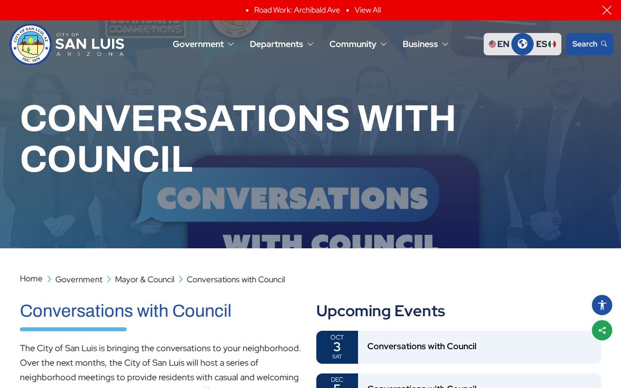
The program brings officials into neighborhoods and helps surface local issues. It does not identify the people in nearby homes.
Trace San Luis HOA Entities
County subdivision maps name developments such as Bienestar Estates phases, Los Olivos, Los Mezquites, Santa Cecilia, and Belleza del Desierto. Search an exact subdivision or association name in the Arizona Corporation Commission entity portal. Entity name, statutory-agent name, principal name, entity ID, status, type, and county can narrow a possible match.
A public entity profile may show status, formation date, known place of business, statutory agent, principals, and filings. That is enough to find the official contact of an incorporated association. It is not enough to infer who belongs to it. Private HOA rosters, congregation lists, and block-watch lists should remain private unless their own governing rules provide access.
City business-license records may help verify a public local organization or service contact. The San Luis business licensing page is the source of this successful page-specific capture.
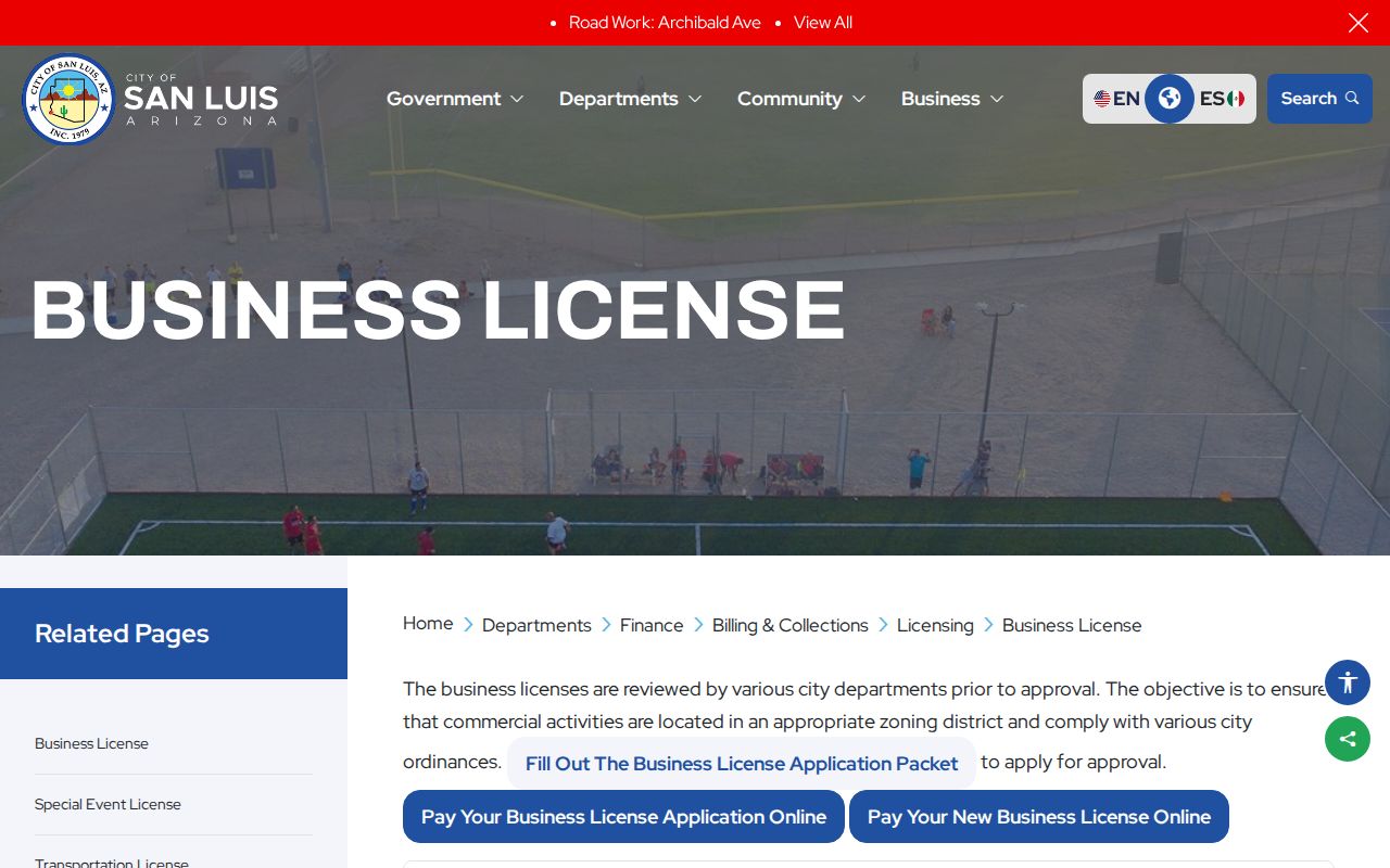
The renewal tool needs notice credentials and is not an open licensee list. A focused request to the City Clerk is the correct fallback for a defined public register.
San Luis Neighbors and Voter Data
My.Arizona.Vote is an identity-gated tool for a voter to check personal registration or ballot status. It is not a public block directory. Arizona precinct registers can contain full name, party preference, registration date, and residence address, but A.R.S. §16-168 limits individual voter data to stated political, election, redistricting, government, petition, candidate, news, or statistical purposes. Commercial use and internet redistribution are barred.
Authorized requests go through Yuma Voter Registration with an affidavit that states the intended use. Protected registrations remain sealed, and month and day of birth, government identifiers, signatures, email, and other sensitive fields are withheld. Aggregate precinct or district totals are a safer source of civic block context because they do not create a list of individuals.
Note: Voter participation history shows whether a ballot was cast in an election; it never reveals the voter's choices.
Historic San Luis Neighbor Snapshots
The Arizona Memory Project holds Yuma City-County and Cosmopolitan Telephone Directory volumes for 1948, 1949, and 1951 through 1963. San Luis appears within countywide books rather than in a stand-alone city series. An alphabetical entry may give a spouse, occupation, phone, PO box, or abbreviated address. Where a street or reverse section exists, it can place several past households near one address.
These books are snapshots, not current rolls. Early San Luis entries can be sparse or PO-box based, and OCR may render the city as “San Luise.” Search countywide pages, surname variants, and shortened place codes. The Arizona Room adds newspaper microfilm and San Luis clipping folders for 1956 through 2012 intervals. Staff can help identify reels or folders when a digital search fails.
The local record trail also reflects rapid growth. Many present blocks and subdivisions postdate the digitized directory run, so a blank historical search may describe the age of the development rather than an absent family.
Compare San Luis Neighbor Sources
Official rolls and commercial neighbor tools answer different kinds of questions. The first group has a named custodian and a defined record purpose. The second may blend old addresses, phones, relatives, and other feeds without a clear update date. Neither category should be treated as a complete household census.
| Source Type | Strongest Use | Limit to State |
|---|---|---|
| GIS and assessor | Map touching parcels and identify recorded owners | Ownership does not name all occupants |
| Recorder and city files | Confirm instruments, legal land, permits, or civic facts | Applicant or party role is not proof of residence |
| Community sources | Find public meetings, entity contacts, and local issues | Private member lists are outside the public layer |
| Commercial compilation | Generate a possible spelling or old-address lead | Stale and mismatched data must be independently checked |
For a disputed fact, the current custodian record controls. Save the APN, instrument, case, license, entity, or request number that lets the office reproduce the result.
Privacy for San Luis Neighbors
Utility customers, delivery data, private rosters, renters, and non-owner household members are not presumed public. Juvenile and sealed court facts remain protected. Federal driver-address rules limit DMV data. Arizona's Address Confidentiality Program supplies a substitute address and mail forwarding to eligible survivors, and protected voter records may also hide the actual location. A gap can be a lawful safety measure.
Collect only the facts needed to understand the block. Do not publish a new household list from parcel, voter, or community sources. If a record appears wrong, contact the GIS, Assessor, Recorder, City Clerk, or other keeper and cite its exact identifier rather than spreading the error.
Lawful use. Researching San Luis neighbors can support civic curiosity, reconnection, and personal safety. It must never become tracking, threats, harassment, or intimidation.